Low tide down, High tide up: Repeat
[Posted by Chuck Almdale, photos by Ray Juncosa]
Here’s another offering in our never-ending effort to document tidal fluctuations in Malibu Lagoon. Future oceanographic historians will be enormously grateful, no doubt.
Ray commented on his photo shooting:
I was stopped by a couple who wondered if I came to the lagoon frequently – they could have sworn you could walk from the west lifeguard station all the way back past the Adamson House to Surfrider’s Beach and were surprised that they needed to do a u-turn.
Sometimes you can, sometime you can’t. Depends on the storms and tides.
Look below.
The ‘Winter Ramp – Summer Clock‘ sidewalk is inundated when water levels are high. This is intentional. There are tiles along part of the sidewalk showing the height above mean low low sea level.


The following set shows where Malibu flows out under Pacific Coast Highway. When the bridge was replaced several decades ago, due to very high flows and trees coming down the creek in an El Nino winter, the Cliff Swallows stopped nesting under it. They moved over to the brick or cement walls of the shopping and civic center buildings a few hundred yards away. The water is deepest just the other side of the bridge.

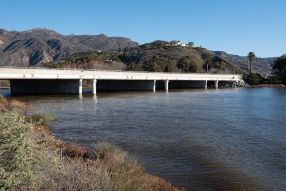
Pacific Coast Highway (Hwy #1) bridge and Malibu Lagoon as seen from near Malibu Colony.
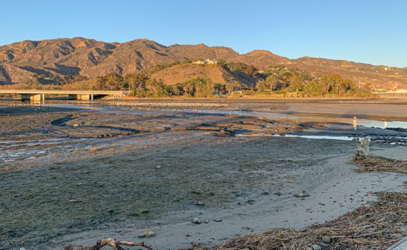

The west end of the public part of Surfrider’s Beach begins here, where the Malibu Colony houses end. Cormorants, seals and shorebirds that prefer rocks to sand can be found here, but not at high tide.


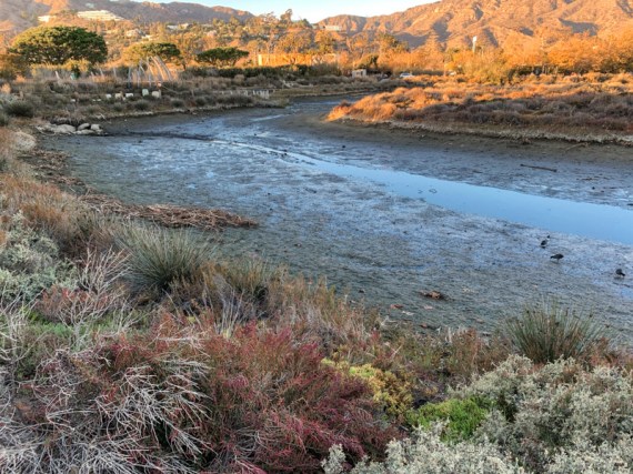
The south channel looking back towards the Winter Ramp sidewalk, with Pepperdine University and Hughes Research Lab on the distant hills.

Looking east across the lagoon towards Adamson House on east side.


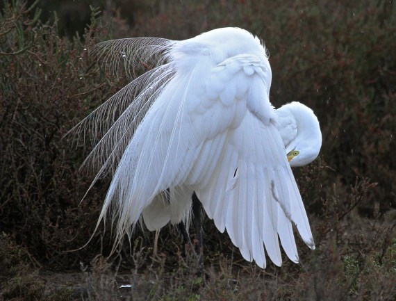
A regular denizen.
Discover more from SANTA MONICA BAY AUDUBON SOCIETY BLOG
Subscribe to get the latest posts sent to your email.


The photos reveal the atmosphere of the lagoon. I never realized the ramp was mean’t to show tidal heights.
LikeLike
Hi Lynn:
It’s slightly more complicated.
The ramp shows level of water IN THE LAGOON once the water rises to a certain level. Not sure what that level is as the lower tiles are all covered with sediment and have been so for years. I have to take a trowel down there some day and shovel them off, if I can find them. I’d guess somewhere between 4-7 ft above MLLT.
When the beach breach (repeat that six times) is open and the tide is flowing INTO the lagoon, the ramp will then show the TIDE level, adjusted for lag time of ocean water raising the level several hundred meters from the breach. Sometime around then the ramp will be accurate for a short while.
Most of the time – when the water flows out of the lagoon or when (six months of the year) when the breach is completely closed, all the ramp shows is water level in the lagoon – but only when it’s above whatever the minimum (see paragraph one) level is.
So, consider it to be like your daily horoscope – for amusement purposes only, don’t adjust your life to it.
Atmosphere: somehow it works its way into all photos. It must be all this heavy breathing.
LikeLike
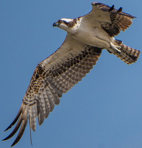
The photos are interesting. I appreciate seeing the different tide levels. I also love the beautiful osprey shot and the great egret – amazing!
LikeLike